Building Information Modeling (BIM) transforms underground utility mapping by providing accurate 3D digital models, enhancing safety and efficiency in urban construction. This technology replaces manual, time-consuming methods, reducing errors and disruptions. BIM facilitates real-time collaboration between stakeholders, improving project management and coordination. By digitizing critical infrastructure data, BIM enables faster decision-making, cost savings, and on-time project delivery through improved conflict detection and safe excavation practices.
In today’s digital era, construction projects are increasingly embracing Building Information Modeling (BIM) to streamline processes and enhance collaboration. This article explores BIM-integrated utility mapping as a revolutionary approach to real-time coordination on construction sites. While traditional underground utility mapping methods present challenges, BIM offers a comprehensive solution, improving safety and efficiency. We delve into the understanding of BIM, its impact, and how it transforms underground utility mapping. Discover the benefits and best practices for managing projects with enhanced accuracy and speed.
Understanding BIM and Its Impact on Construction
Building Information Modeling (BIM) is transforming the construction industry by providing a digital representation of a building or infrastructure project, including all its components and systems. It goes beyond traditional 2D plans by creating a comprehensive, 3D model that integrates various disciplines, such as architecture, structural engineering, and mechanical, electrical, and plumbing (MEP) systems. This unified approach allows for better collaboration among project stakeholders, enabling them to identify potential conflicts and errors early in the design phase.
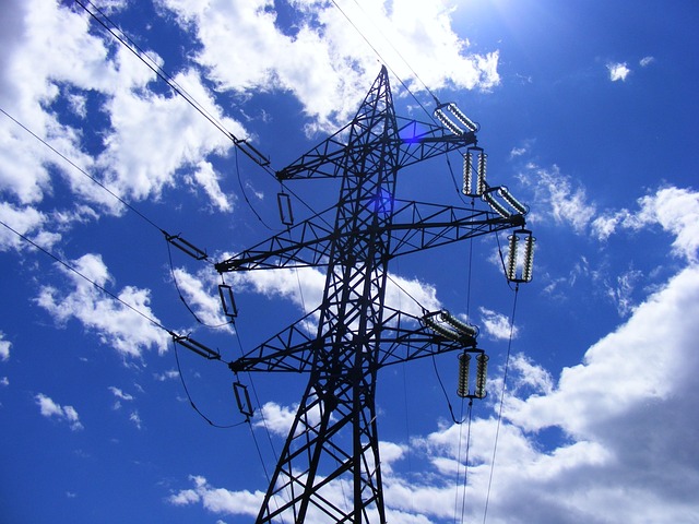
In the context of underground utility mapping, BIM plays a pivotal role by offering precise and up-to-date information on the location and infrastructure of critical utilities like water pipes, power lines, and gas networks. By integrating this data into the BIM model, construction teams can gain real-time visibility, ensuring safe excavation and minimizing disruptions. This is particularly important in urban areas where complex underground utility layouts require meticulous planning to avoid costly damage during construction activities.
The Challenge of Traditional Underground Utility Mapping
The current process of traditional underground utility mapping is a complex and time-consuming task, often leading to delays in construction projects. This conventional method relies on manual excavation and inspection, which can be inefficient and pose significant risks. With limited visibility beneath the ground, errors are common, resulting in costly mistakes and potential safety hazards.
In today’s fast-paced construction industry, where real-time coordination is key, these challenges become even more pronounced. The lack of accurate and up-to-date utility data can cause delays at every stage of a project, from initial planning to final completion. Therefore, transitioning to BIM-integrated utility mapping offers a much-needed solution, providing a comprehensive digital representation of underground utilities for enhanced collaboration and efficient project management.
Integrating BIM for Real-Time Coordination and Safety
Integrating Building Information Modeling (BIM) into underground utility mapping processes offers a transformative approach to real-time coordination and safety in construction projects. By utilizing BIM technology, project stakeholders can access up-to-date digital models that precisely represent the location, type, and depth of buried utilities. This enables efficient collision detection between excavation plans and existing infrastructure, significantly reducing the risk of damage and disruptions.
Real-time coordination becomes seamless as BIM models facilitate better communication among architects, engineers, contractors, and utility providers. Everyone involved can work from a unified digital platform, ensuring that design intent is accurately transferred to construction phase. This collaboration enhances safety by enabling quick identification and mitigation of potential hazards associated with underground utilities, such as gas lines or critical service connections.
Benefits and Best Practices for Efficient Project Management
BIM-integrated underground utility mapping offers numerous benefits for efficient project management. By digitizing and centralizing critical infrastructure data, teams gain real-time access to precise information about buried utilities, enhancing coordination and reducing errors. This leads to faster decision-making, minimized delays, and cost savings throughout the project lifecycle.
Best practices include establishing clear protocols for data collection and maintenance, ensuring all stakeholders are trained in BIM software and industry standards, and fostering open communication channels. Regular updates and collaborative access to the digital map enable better conflict detection, informed scheduling, and safe excavation—ultimately streamlining workflows and delivering projects on time and within budget.
BIM-integrated utility mapping represents a significant leap forward in construction project management, offering enhanced visibility and real-time coordination. By seamlessly integrating digital models with physical infrastructure, this approach eliminates the challenges of traditional underground utility mapping. The benefits are clear: improved safety, reduced conflicts, and more efficient project workflows. As the construction industry continues to embrace technological advancements, BIM-integrated utility mapping is poised to become a standard practice, revolutionizing how we manage complex infrastructure projects.