Drone-based photogrammetry offers a revolutionary approach to building design modeling by capturing high-resolution images from multiple angles for accurate 3D models, enhancing project planning and execution with efficient site surveying, precise modeling, and improved access to challenging sites.
“Unleash the power of aerial insights with drone-based photogrammetry—a revolutionary technology transforming building design and construction. This advanced method offers an accurate, efficient approach to site modeling, capturing intricate details from above.
In this article, we explore the benefits and applications of drone photogrammetry, from its ability to enhance building design processes to its significant impact on project efficiency and accuracy. Prepare to discover how drones are redefining site modeling.”
Understanding Drone Photogrammetry for Building Design
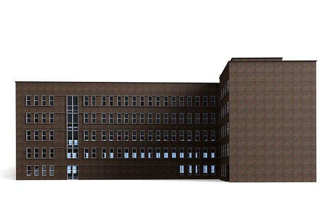
Drone-based photogrammetry is a game-changer in the realm of building design modeling. This advanced technology combines aerial photography with sophisticated software algorithms to create highly accurate 3D models of structures and sites. By capturing numerous high-resolution images from different angles, drones can generate detailed digital representations that are far more comprehensive than traditional methods.
For architects and engineers involved in building design, drone photogrammetry offers a multitude of benefits. It enables efficient site surveying, enabling professionals to assess terrain, infrastructure, and existing structures swiftly and accurately. Moreover, it facilitates precise building design modeling by providing a detailed understanding of the site’s context. This technology is instrumental in creating as-built models, validating design concepts, and enhancing project planning and execution.
Advantages of Using Drones for Site Modeling
Drone-based photogrammetry offers a revolutionary approach to accurate site modeling, transforming the way we capture and represent built environments. This technology provides several advantages over traditional methods, making it a game-changer in the field of building design modeling.
One of the key benefits is its efficiency and speed. Drones can swiftly cover large areas, capturing high-resolution images from multiple angles, which subsequently enables rapid data processing and 3D model generation. This streamlined process reduces project timelines significantly, allowing architects, engineers, and developers to make informed decisions faster. Moreover, drones can access challenging or confined sites with ease, ensuring comprehensive data collection for precise modeling.
The Process: From Data Collection to 3D Models
The process of drone-based photogrammetry for accurate site modeling involves several crucial steps, beginning with data collection and culminating in detailed 3D models. It starts with planning and preparation, where surveyors identify key areas to be mapped and determine optimal flight paths to ensure comprehensive coverage. Armed with this strategy, drones equipped with high-resolution cameras are deployed to capture a multitude of images from various angles, creating a rich dataset.
Next, specialized software processes these images, using advanced algorithms to match corresponding features and reconstruct the site’s geometry. This photogrammetric analysis produces point clouds, representing 3D data points gathered from the images, which are then meticulously filtered for accuracy. Finally, these point clouds are triangulated and smoothed to create highly precise building design models, ready for use in various applications such as architectural visualization, construction documentation, or urban planning.
Applications and Impact on Architecture & Construction
Drone-based photogrammetry has emerged as a powerful tool in the architecture and construction sectors, offering unprecedented accuracy and efficiency in creating detailed building design models. This technology involves capturing high-resolution images from drones and using specialized software to reconstruct 3D models of structures and sites. The applications are vast, ranging from rapid site documentation to precise measurements for complex architectural designs.
In architecture, drone photogrammetry enables quick and cost-effective surveys, allowing designers to capture intricate details of buildings and their surroundings. This is particularly beneficial for historical structures or unique architectural forms where traditional measurement methods may be challenging. Accurate 3D models can aid in visualization, presentation, and communication of design ideas during the conceptualization phase. For construction projects, this technology streamlines site planning and progress tracking by providing up-to-date, detailed models that can be easily compared to original designs. It also enhances safety by offering remote inspection capabilities, reducing the need for personnel on-site.
Drone-based photogrammetry has emerged as a powerful tool in the architecture and construction industry, revolutionizing how we approach building design modeling. By leveraging advanced drone technology, professionals can now capture intricate site details with remarkable accuracy, efficiency, and cost-effectiveness. The process, from data collection to 3D models, is streamlined and non-invasive, making it an ideal solution for various applications. As this technology continues to evolve, we can expect even more precise and detailed building design modeling, enhancing project outcomes across the industry.