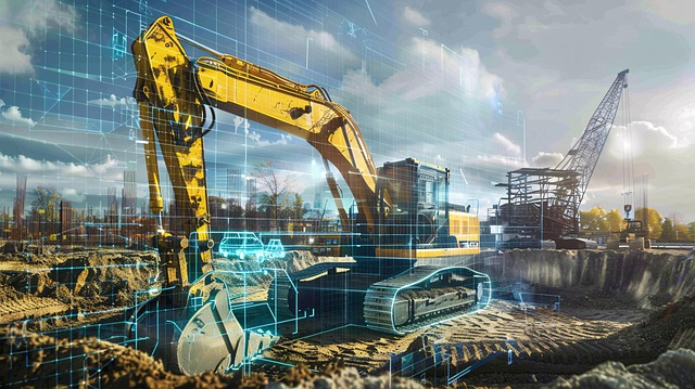
Subsurface utility detection uses advanced technologies like GPR, LiDAR, and high-res cameras to accurately map critical infrastructure (water, gas, power lines) beneath the earth's surface. Traditional methods are slow, error-prone, and damaging. HD scans offer real-time, precise images of utilities' location, depth, and composition, minimizing damage, streamlining projects, and enhancing safety in urban & rural areas. This technology revolutionizes infrastructure management through efficient maintenance, effective management practices, and streamlined operations.
In today’s digital era, accurate identification of underground utility lines is paramount for safe and efficient infrastructure management. This article explores high-definition scans as a game-changer in subsurface utility detection. We delve into the need for precise identification, compare traditional methods with cutting-edge HD techniques, and examine the technology driving this advanced scanning process. Discover how these innovations are revolutionizing infrastructure maintenance and enhancing safety.
Understanding Subsurface Utility Detection: The Need for Accurate Identification
Utility lines, whether they’re for water, gas, or power, are essential infrastructure beneath our feet. However, their exact location and depth can be difficult to pinpoint due to varied soil conditions and overlying structures. This is where subsurface utility detection comes in—a specialized process aimed at accurately identifying these critical utilities before any excavation work begins.
Accurate identification is crucial for safety and cost-effectiveness. Misidentifying or missing a utility line during an excavation project can lead to severe consequences, including damage to the lines themselves, interruptions in vital services, and even worker injuries. High-definition scans offer a precise and non-invasive method to map these utilities, ensuring that construction projects proceed smoothly while minimizing risks and potential hazards.
Traditional Methods vs. High-Definition Scans: A Comparative Analysis
The traditional method of identifying utility lines has relied on a combination of visual inspection, manual probing, and limited underground scanning technologies. These methods often involve significant time and resource investment, leaving room for human error and potential damage to underground infrastructure during excavation. High-definition (HD) scans, however, represent a paradigm shift in the industry. With advanced technology like ground-penetrating radar (GPR) and electromagnetic induction (EMI), HD scans offer unparalleled accuracy and efficiency in subsurface utility detection.
Compared to traditional techniques, HD scans provide detailed, real-time images of underground utilities, including their location, depth, and composition. This level of precision not only reduces the risk of damage during construction projects but also streamlines the identification process, saving time and money. Moreover, HD scanning technologies can operate with minimal disruption to surface activities, making them ideal for urban settings where accessibility and safety are paramount concerns in subsurface utility detection.
Technology Behind HD Scans: Tools and Techniques for Exact Line Locating
High-definition (HD) scans leverage cutting-edge technology and innovative tools to achieve precise identification of underground utility lines. These advanced techniques go beyond traditional methods, offering unparalleled accuracy in detecting and mapping critical infrastructure beneath the earth’s surface. By integrating various sensor technologies, such as ground-penetrating radar (GPR), LiDAR, and high-resolution cameras, HD scans provide a comprehensive view of subsurface utilities.
The process typically involves deploying specialized equipment that emits signals and captures data from reflections, enabling detailed imaging of underground structures. For instance, GPR uses electromagnetic waves to penetrate the soil, creating images that reveal utility lines based on their material properties. LiDAR, on the other hand, employs laser pulses to measure distances and create 3D point clouds, offering precise spatial information for line localization. These techniques, combined with advanced data processing algorithms, ensure efficient and exact subsurface utility detection, minimizing the risks associated with accidental damage during construction or excavation projects.
Benefits and Applications: Revolutionizing Infrastructure Management with Advanced Scanning
High-definition scans are transforming infrastructure management by offering unprecedented accuracy in identifying utility lines beneath our feet. This advanced scanning technology, often referred to as subsurface utility detection, brings a multitude of benefits. It enables utilities and construction professionals to precisely map out underground infrastructure, from water pipes and gas lines to power cables and fiber optics.
This level of detail not only enhances safety by minimizing the risk of damaging critical utilities during excavation projects but also optimizes maintenance and repair processes. High-definition scans provide digital records that can be easily accessed, shared, and updated, fostering more efficient infrastructure management practices in both urban and rural settings.
High-definition scans represent a groundbreaking advancement in subsurface utility detection, offering unprecedented accuracy and efficiency. By leveraging cutting-edge technology, these advanced scanning methods enable precise identification of utility lines, thereby streamlining infrastructure management. This article has explored the critical need for accurate subsurface utility detection, compared traditional techniques with modern HD scans, delved into the underlying technology, and highlighted the diverse benefits and applications of this transformative practice in today’s digital era.