Underground data accuracy is paramount for safe and efficient infrastructure development, with precise subsurface utility detection (SUD) crucial to avoid costly mistakes and safety hazards. Advanced techniques like ground penetration radar (GPR), electromagnetic induction, and soil sampling map complex networks of utilities beneath urban areas, enhancing SUD accuracy. Integration of diverse data sources provides a comprehensive view, facilitating informed decision-making for sustainable infrastructure. Modern technologies such as GPR, GPS integration, and drone-based mapping systems have revolutionized underground data collection, boosting reliability through real-time tracking and high-resolution imagery. Professional surveyors adhere to industry standards for data integrity, ensuring safe access to critical underground infrastructure during construction and excavation.
Underground data accuracy is paramount for modern infrastructure management. Comprehensive surveys play a crucial role in achieving precise insights into our subterranean landscape, especially in navigating complex networks of utilities beneath urban centers. This article delves into the significance of accurate underground data and explores how advanced techniques, such as integrated sensor systems and geospatial modeling, facilitate efficient subsurface utility detection. We dissect critical steps ensuring quality and reliability in data analysis, underscoring the importance of comprehensive surveys for informed decision-making.
Understanding the Importance of Accurate Underground Data
Underground data accuracy is paramount in today’s world, where infrastructure and development projects increasingly involve complex interactions with the subterranean realm. Accurate subsurface utility detection, for instance, is not merely a matter of convenience; it’s a critical component of safe and efficient construction, maintenance, and expansion of our urban landscapes. Inaccurate or incomplete knowledge about what lies beneath the surface can lead to costly mistakes, project delays, and even safety hazards.
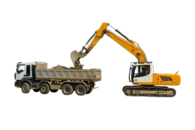
Projects that range from laying new pipelines and cables to excavating for building foundations demand precise maps and data of underground utilities. This information ensures that construction activities avoid damaging vital services like water, gas, electricity, or telecommunications infrastructure. Furthermore, understanding the layout of these utilities aids in planning alternative routes when necessary, minimizing disruptions and associated costs during construction and subsequent maintenance work.
The Role of Comprehensive Surveys in Subsurface Utility Detection
Comprehensive surveys play a pivotal role in enhancing the accuracy and efficiency of subsurface utility detection. These meticulous data-gathering processes involve advanced techniques such as ground penetration radar, electromagnetic induction, and soil sampling to map out the intricate network of utilities hidden beneath our cities. By integrating diverse data sources, comprehensive surveys offer a holistic view of the subsurface landscape, ensuring that critical infrastructure like pipelines, cables, and wires are identified and located with unparalleled precision.
This level of detail is paramount in the realm of subsurface utility detection, where even minor errors can lead to costly disruptions or safety hazards. Comprehensive surveys enable professionals to navigate complex underground environments, avoiding accidental damage during excavation projects. Moreover, they facilitate informed decision-making by providing valuable insights into the condition and distribution of subsurface utilities, ultimately contributing to more sustainable and resilient urban infrastructure.
Techniques and Technologies for Effective Data Collection
Underground data collection has evolved significantly, incorporating advanced techniques and technologies to ensure accurate and efficient subsurface utility detection. One of the primary methods involves ground-penetrating radar (GPR), which uses high-frequency radio waves to create detailed images of underground structures and utilities. This non-invasive technique is particularly useful for mapping pipes, cables, and other utilities without disturbing the surface.
Additionally, modern survey equipment now integrates global positioning system (GPS) technology, enabling precise location data and real-time tracking during the collection process. This integration ensures that every data point is accurately georeferenced, enhancing the overall quality and reliability of the subsurface map. Furthermore, the use of drone-based mapping systems offers a bird’s-eye view of the area, providing high-resolution imagery and 3D models, which are invaluable for complex underground infrastructure assessments.
Ensuring Quality and Reliability in Underground Data Analysis
Accurate underground data collection is only as good as the methods and tools used to gather it. In the realm of subsurface utility detection, ensuring quality and reliability is paramount. Professional surveyors employ advanced technologies such as ground-penetrating radar (GPR) and electromagnetic induction (EM) to map underground utilities with precision. These tools provide real-time data, allowing for comprehensive analysis and accurate identification of pipes, cables, and other critical infrastructure.
Rigorous quality control measures are implemented throughout the survey process to maintain data integrity. This includes regular calibration of equipment, training of personnel, and cross-validation of results. By adhering to industry standards and best practices, such as those set by organizations like the American Society for Nondestructive Testing (ASNT), surveyors can deliver reliable data that supports informed decision-making in construction, excavation, and other industries reliant on safe and efficient access to underground utilities.
Comprehensive surveys are indispensable tools for achieving accurate underground data, particularly in the realm of subsurface utility detection. By employing advanced techniques and technologies for effective data collection, we can ensure that our understanding of subterranean infrastructure is robust and reliable. This, in turn, facilitates safer, more efficient planning and development while minimizing disruptions to essential services. In today’s digital era, investing in high-quality underground data is not just a best practice—it’s a game changer.